
Our Services
GEOPHYSICAL INVESTIGATION
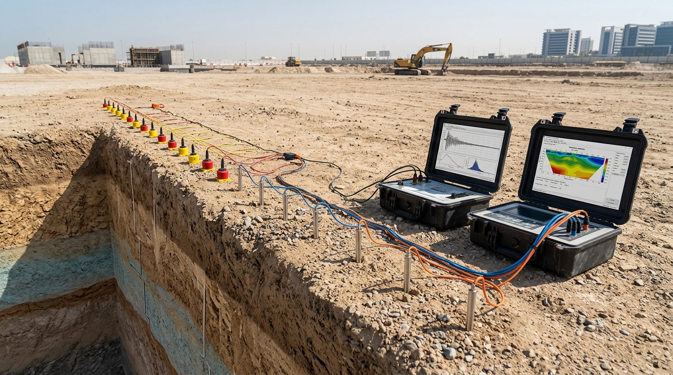
SURFACE GEOPHYSICS
- Multi-Channel Analysis of Surface Waves (MASW): Determines the shear-wave velocity (Vs) profile of the subsurface for seismic site classification and foundation design.
- Electrical Resistivity Tomography (ERT): Maps subsurface resistivity variations to identify soil stratification, groundwater levels, and possible voids or contamination zones.
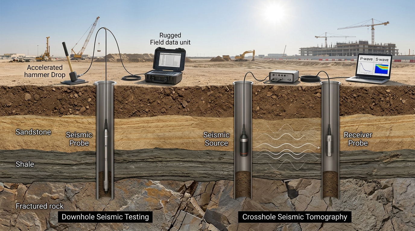
BOREHOLE GEOPHYSICS
- Downhole Seismic Testing: Measures in-situ P- and S-wave velocities at different depths to determine dynamic soil properties and stiffness profiles.
- Crosshole Seismic Tomography: Provides high-resolution velocity mapping between boreholes, offering precise subsurface continuity and layer characterization.