

underground utility mapping
One survey partner. Every layer of your project.
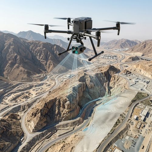
UAV / Drone Survey
Madar utilizes the latest technologies in drone and UAV surveys to make a complete and comprehensive survey of inaccessible areas, including LiDAR and photogrammetry.
Mobile Mapping
Mobile mapping is the process of geographical data collection using a mobile vehicle; this system is composed of a synchronized group of topographical and photographic devices completed with remote sensing technology which works in compatibility in order to form and create high-quality point-maps.
3D Laser Scanning
3D laser scanning is a non-contact, non-destructive technology that digitally captures the shape of physical objects using a line of laser light
TOPOGRAPHICAL SURVEY SERVICES
Comprehensive ground-based surveys using GNSS, total stations, and leveling instruments to produce precise topographic and engineering maps.
Our Services

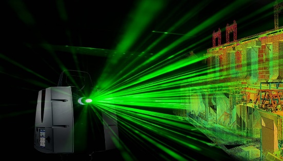
3D laser scanning
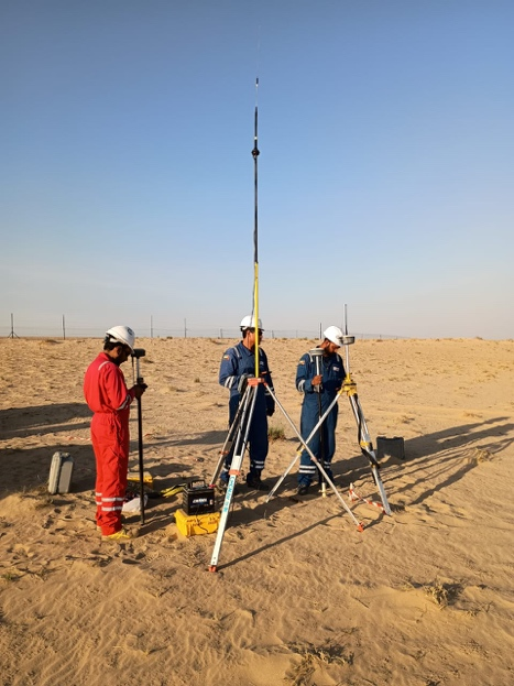
Topographical Survey Services
Comprehensive ground-based surveys using GNSS, total stations, and leveling instruments to produce precise topographic and engineering maps.